Version 6.7.0
Greenwich v6.7.0 has been released on 28th June, 2019.
Main updated modules are:
- Roughness Map
- Mast Analysis
- Data Layers
- Route Design
- Power Line
- Bug Fix
Please check the user manual via this link.
For more information, please check the following content:
WRA
- Added LandCover 2017 as new option of roughness map. This data source is more accurate with higher resolution (10m) compared with the current version More information.
- Supported the import of the .rld data of the latest version in mast analysis.
Data Layers
- Added data layer of built wind farm: Show the turbine location and wind farm area information based on the operating wind farms.
Route Design
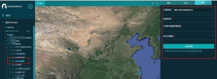
Added the Risk Assessment of Major Component Transportation calculation. This function integrates route networks from multiple sources (import, download, and drawing) which requires reconstruction, and evaluates their demolition and reconstruction cost.

Improved the route design algorithm based on major component transportation route network. During route design, the selection of Reconstructed Route should be that which completes the Risk Assessment of Major Component Transportation calculation.
Power Line
- Added cable on tower from turbine.
- Fixed the acute angle issue at the turning point of aerial.
- Fixed the issue of close distance between T-access towers.